North
Cascades 1968 with the Explorers Club of Pittsburgh
Hiking into the North
Cascades ...
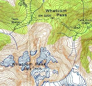 |
The map at left
shows our destination, Whatcom Peak. This
link shows the larger immediate area within our view during the
climb. The routes of the first
day's hike and the second
day's hike. The maps are scanned from the Mt. Shuksan (1950) and Mt. Challenger (1953) 1:62,500 series USGS topographic maps of the State of Washington. Here is the entire area of interest. You can look at the Mt. Shuksan 1:24,000 series topographic map here. Whatcom Peak can be found here. The first couple of days are a bit of a blur, considering that I am looking back over thirty-seven years that have elapsed since we were in the North Cascades. |
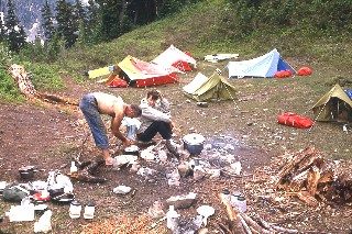 |
It rained every
night and drizzled most of nearly every day in this leg of our
trip. It was as wet in the two weeks here as the first week (Lake
Chelan to Glacier Peak) was dry. My
tent is the one at the extreme rear. Does it look differently
situated ? It should; even though Rosemary & I were the last
to arrive at each camping spot, we always got the best spot, defined
(by me) as the dryest place. The others picked the flattest
spots. I didn't mind being 5 percent uncomfortable if it meant
getting up 100 percent dry. The others were 100 percent
comfortable and 100 percent wet. There; my conscience is clear. |
|
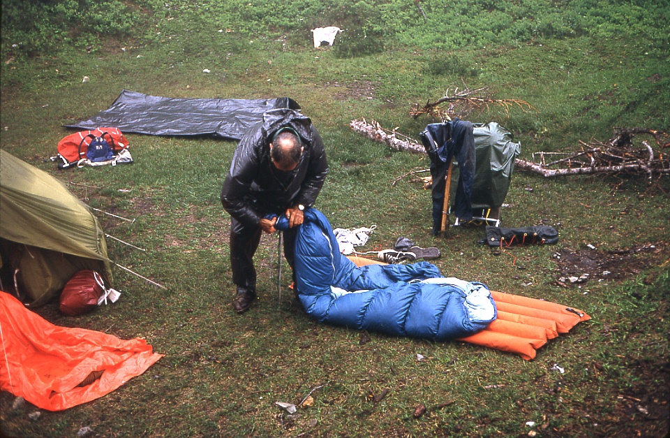
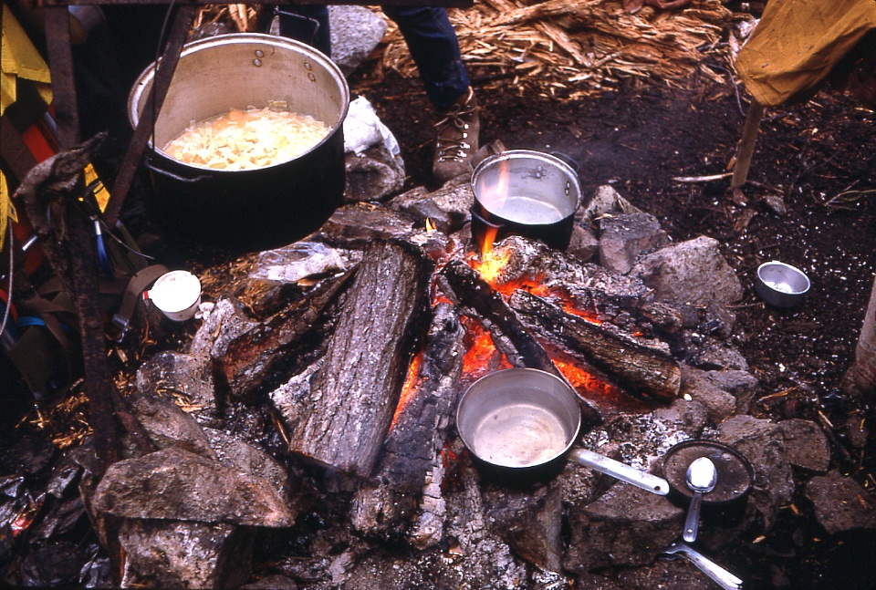
Here you can see the local climate as well as the convex
shape of my tent site at far right.
The next four images show our typical days ... reading, wringing, shaving & eating. 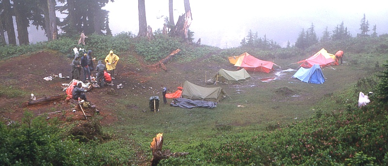 |
 |
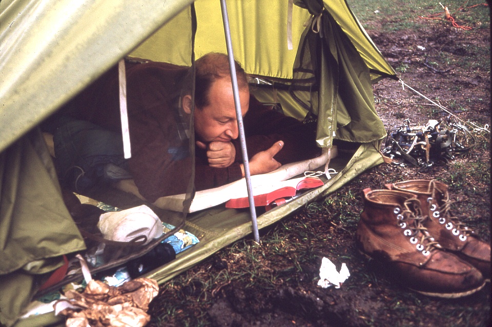 |
Click on one of these 4 images
to see more detail. |
 |
It wasn't always misting; this is Mt. Shuksan as seen across
the Nooksack Ridge from Hannegan Pass.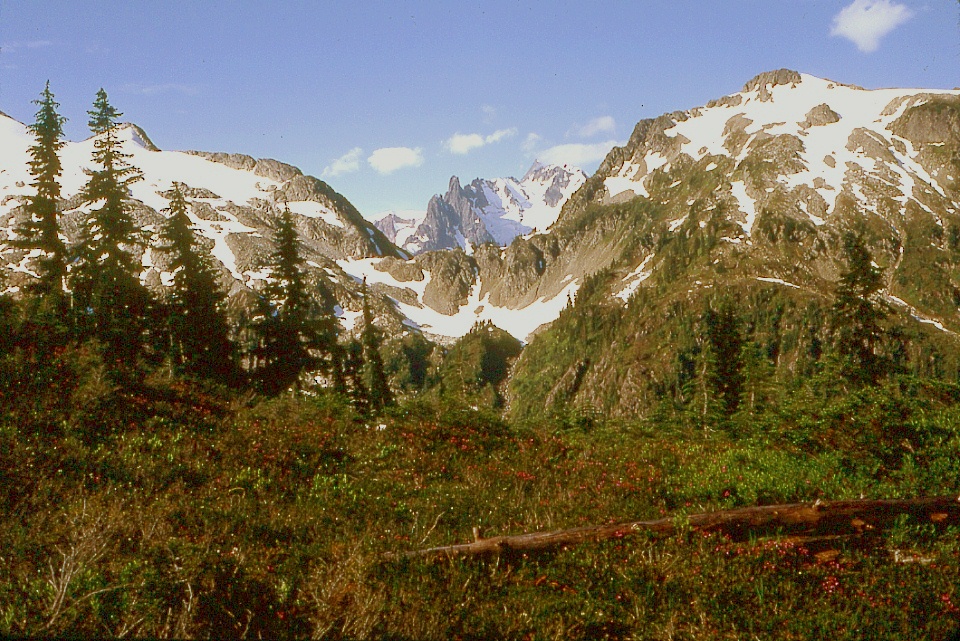 |
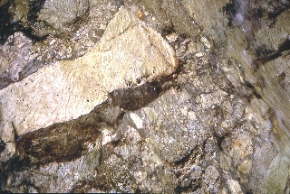 |
Even though
there are plenty of volcanoes in Washington, the alpine peaks also
contain evidence of a volcanic past. This is brecchia
as revealed in a mountain brook. There are no loose rocks in
this image ... |
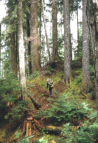 |
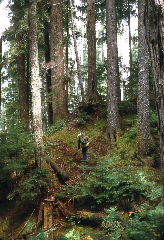
On the way in, I
carried some of the food & shelter to be shared with my
companion. Still, the
pack you see here weighed sixty pounds, half her weight. Mine
was about a hundred more than that, what with tent, sleeping bag,
crampons, ice axe, pitons, food for two, and camera, etc.
Whew. My feet still hurt, thirty-seven years later. |
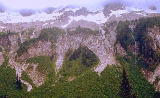 |
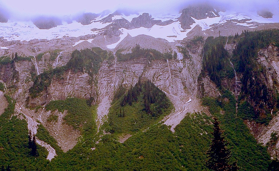
The cascades
seen here are of the sort that gave these mountains their name. |
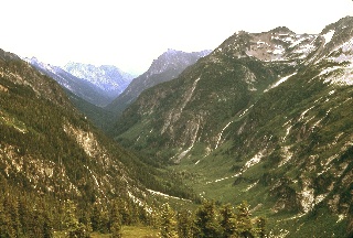 |
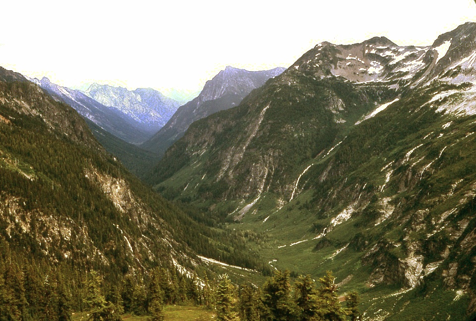
Classic
alpine valley, U-shaped by the galciers, with waterfalls and
hanging valleys to spare. This is what bursts into view upon reaching Whatcom Pass. |
And Hiking back out of the North Cascades ...
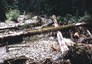 |
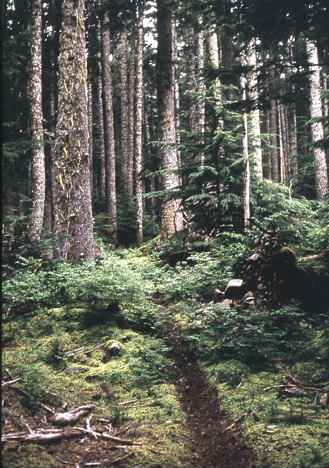
Coming back out,
we crossed
this small stream. Below: Typical woodland views. Moss and trees alike nourished by the abundant moisture and minerals leached from the glacier-ground rock. Click on an image to see it in greater detail. |
 |
 |
 |
At left:
Amenities. Below: Tapto Shelter..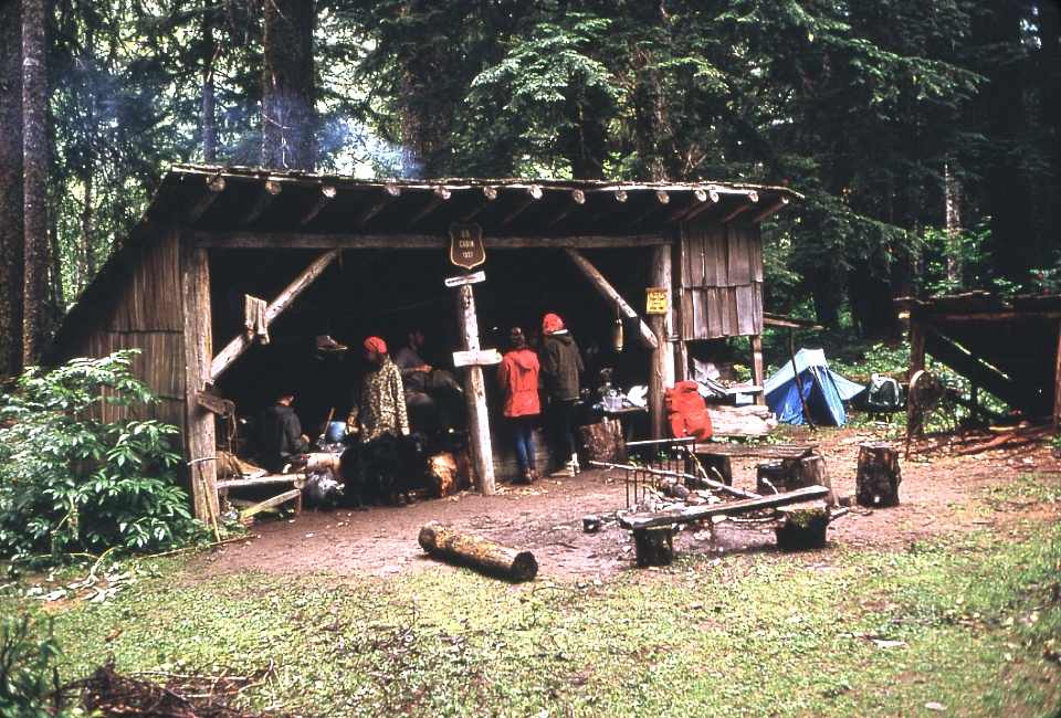 |
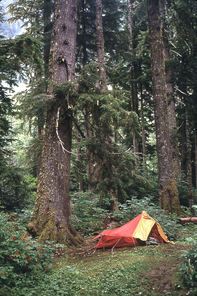 |
At left is my
tent, perched on a broad hummock, all set to keep us dry. |