 |
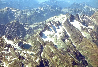
Getting StartedThis is our first peek at the Cascade mountains - from the airplane flying in to Seattle. The view is looking north ... |
 |
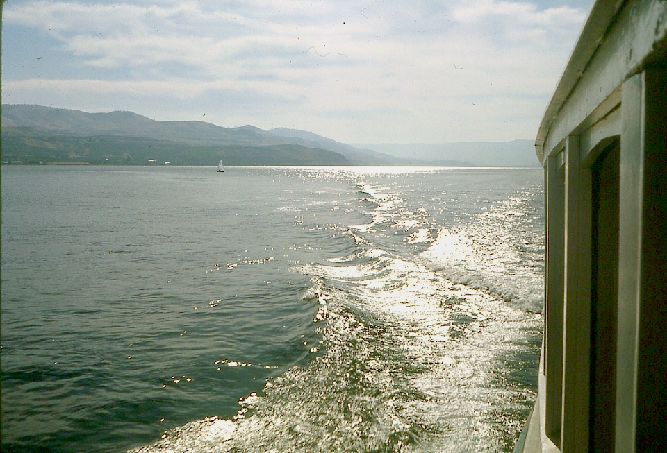
On the way to Bonanza PeakWe used automobile transportation to get from Seattle to Chelan, and then we caught the Lady of the Lake ferry for a charming boat ride fifty miles up the lake to Lucerne. |
 |
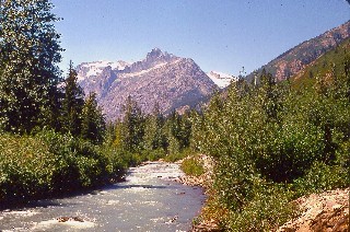
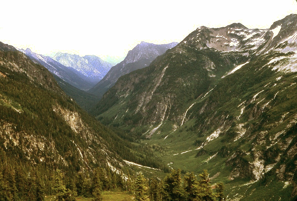
Climbing Bonanza PeakAt twilight we got our first view of the whole route up Bonanza Peak, from extreme right to the sharp peak above the triangular glacier interrupted by the prominent crevasse at upper left. The glacier in the upper foreground is the Mary Green. That's Holden Lake at the bottom. We were the first persons to climb Bonanza Peak that year (September, 1968) probably because snow conditions (or rain) on the upper part of the climb can make the last pitch quite dangerous. We found the climb challenging and demanding of constant care. |
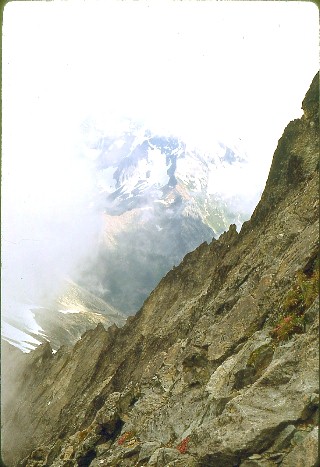 |
Views from the Summit of Bonanza PeakAt left the camera is looking southeast.Below the view is to the north. 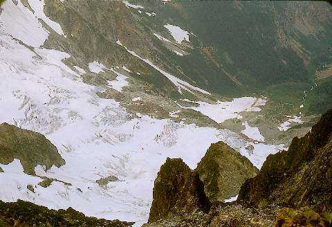 |
The Trek from Bonanza Peak to the Base of Glacier Peak - Day 1 |
The Trek from Bonanza Peak to the Base of Glacier Peak - Day 2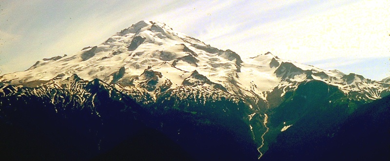 |
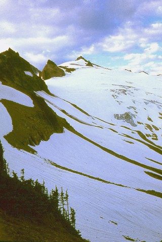 |
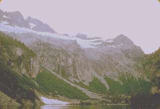
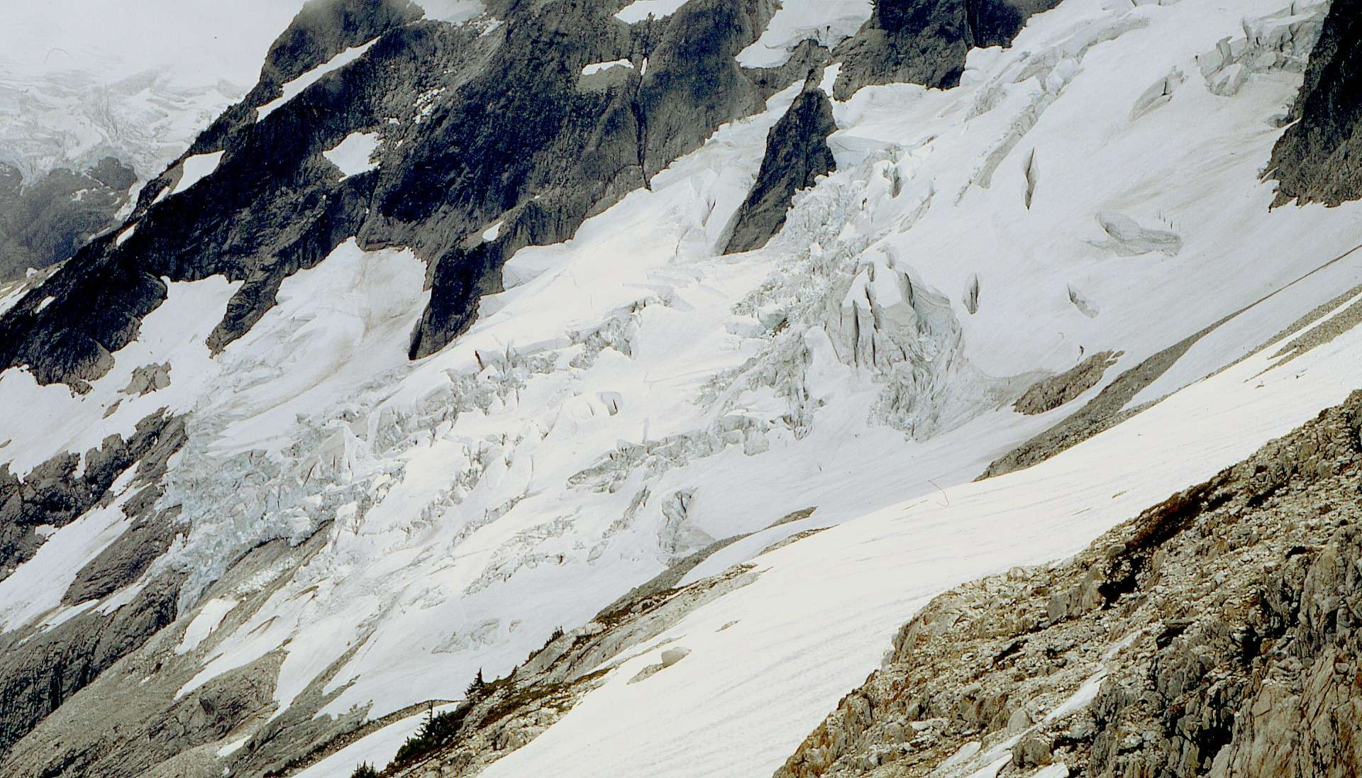
The Glacier Peak Climb At left is the Vista Glacier that can be seen above the stream in the image just preceding this row. Below is a good look (south) at the famous "rabbit ears" that were the key to our route up Glacier Peak from the north. 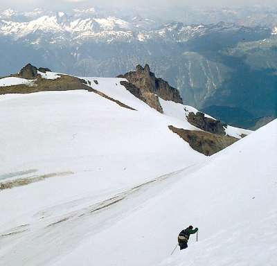 |
The view below
shows most of the Kennedy Glacier.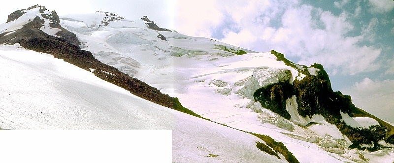 |
This is the
Suiattle River valley under Dusty Glacier.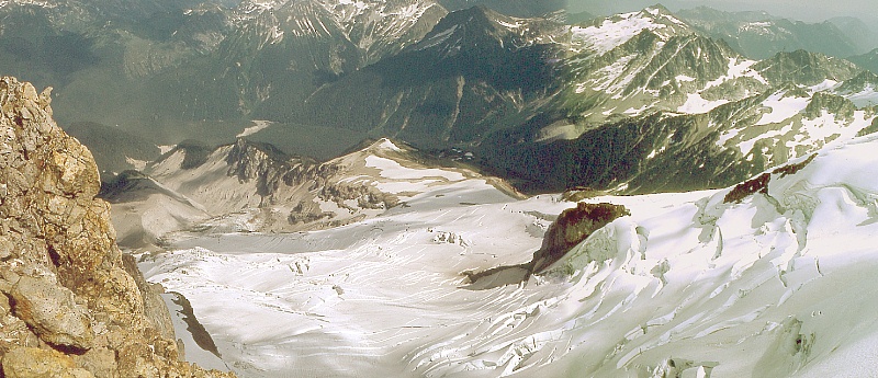 |
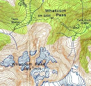 |
Hiking into the North CascadesThe map at left shows our destination, Whatcom Peak. This link shows the larger immediate area within our view during the climb. The routes of the first day's hike and the second day's hike.The maps are scanned from the Mt. Shuksan (1950) and Mt. Challenger (1953) 1:62,500 series USGS topographic maps of the State of Washington. Here is the entire area of interest. You can look at the Mt. Shuksan 1:24,000 series topographic map here. Whatcom Peak can be found here. |
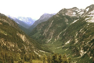 |
The Views from Whatcom PassThe scene at left is what came into view upon reaching Whatcom Pass. It looks very much like the view of Crawford Notch from Mt. Willard in New Hampshire. The glacier that formed Crawford Notch overrode Mt. Willard, plucking rock from its face so as to form a cliff with one of the most impressive views in the eastern US. Much the same seems to have happened here at Whatcom Pass. |
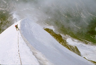 |
The
Whatcom Peak Climb In the composite image below, there are climbers crossing Whatcom Peak's west-side glacier and approaching us. We could see them move. The route to Whatcom Peak lies along the right-hand skyline, with the summit in the clouds at the highest point in the image. These climbers reached Whatcom Pass before Mike and I returned from our climb of Whatcom Peak. They were soaked and miserable, we were given to understand afterwards. There's a double- wide image of them and the glacier here. |
 |
 |
Hiking
back out of
the North Cascades |